- Choosing a selection results in a full page refresh.

![Humminbird LakeMaster VX Premium - Great Lakes [602002-1]](http://petersonmarineinc.com/cdn/shop/files/96683XL_medium.jpg?v=1711087059)
Couldn't load pickup availability
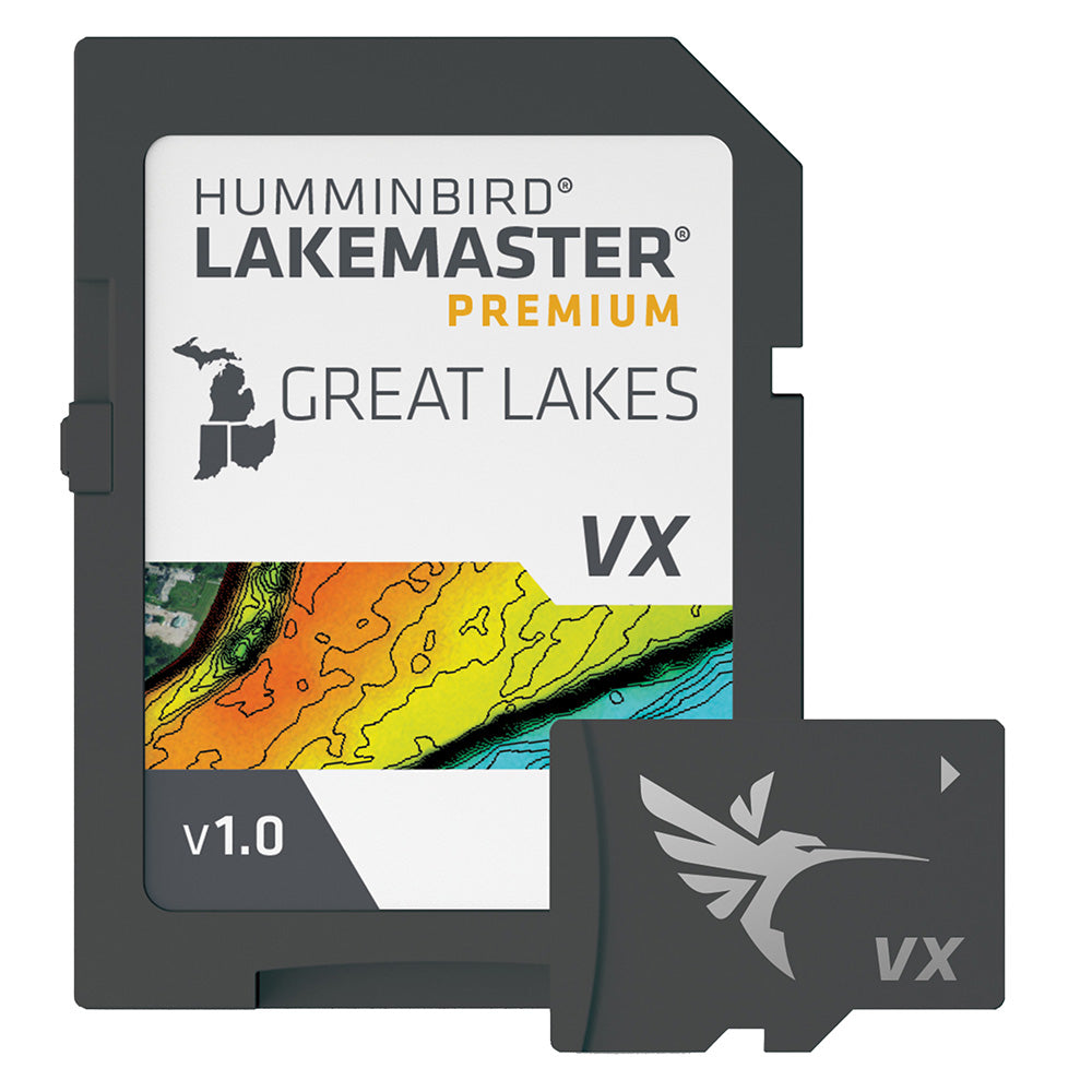
LakeMaster® VX Premium - Great Lakes
An upgraded premium mapping solution in Humminbird LakeMaster VX to help anglers understand what is under the water’s surface better than ever before.
For decades, Humminbird LakeMaster® has led the charge with the most accurate and advanced mapping available for anglers. Now, LakeMaster is taking it to an entirely new level with the introduction of Humminbird LakeMaster maps with VX Technology.
The LakeMaster name has been praised among anglers for having the highest quality mapping for fishing, often collected by a team of GIS analyst cartographers. Now with VX Technology, LakeMaster maps are packed with more information than ever before, including five new customizable color palettes, exceptional map performance, and a powerful combination of features.
The LakeMaster lineup maintains the same regions as the current lineup, but with two options per region: LakeMaster and LakeMaster Premium. Both products now include SmartStrike technology as a feature, allowing anglers to enter search parameters like season, time of day, temperature, and targeted fish species to create a custom chart that highlights areas of the map where fish are most likely to be biting. LakeMaster and LakeMaster Premium also include customizable Chart Presets, Depth Highlight, Shallow Water Highlight, Water Level Offset, and One-Boat Network capability. And for an added advantage, LakeMaster Premium includes two additional features: 2D Shaded Relief and Aerial Imagery.
LakeMaster has been the go-to road map for anglers, and compared to the competition, what you see on the map is actually on the lake bottom. With LakeMaster with VX Technology, Humminbird LakeMaster solidifies its place as the most accurate and detailed fishing map on the market.
Features:
Thanks for subscribing!
This email has been registered!
| Product | SKU | Description | Collection | Availability | Product Type | Other Details |
|---|